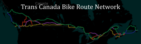
Trans Canada Bike Route Network
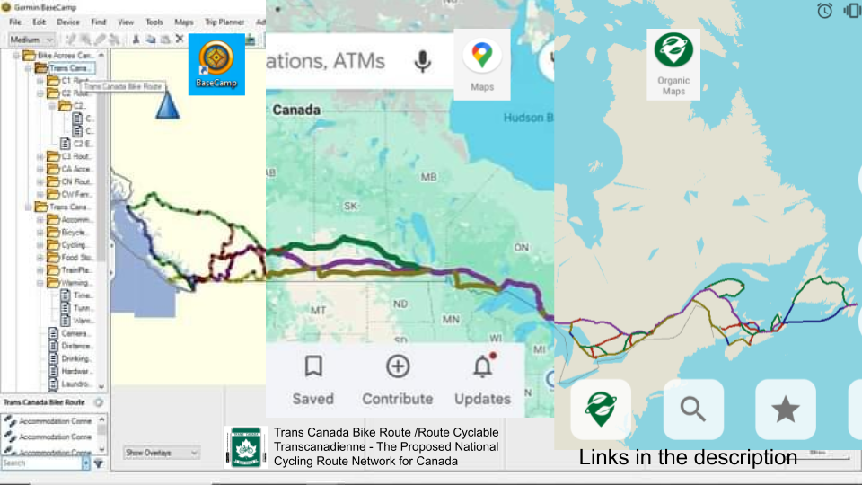
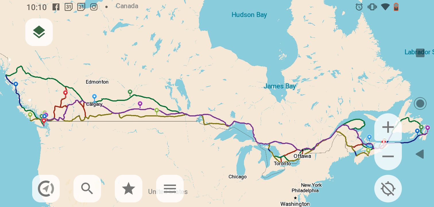
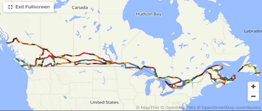
This is the proposed National Cycling Route Network for Canada. Below is the Google Map, this can be viewed on any device connected to the internet from any web browser. (The Google Maps app is the most commonly used app for Android). Titled 'Trans Canada Bike Route /Route Cyclable Transcanadienne - Map 1of4 - Proposed National Cycling Route Network for Canada & Accommodations POIs', it's the primary online map for this project. Everything is copied/imported from the Garmin BaseCamp database (GDB file or alternative link for GDB file on GitHub) or alternative link GDB file on GoogleDrive or altervative link for GB file on CrazyGuyOnABike or alternative link for GDB file on Facebook containing the Network and all of the subfolders with lots of POI's (points of interest). Also available as a GPX file (for the linear network), which can be viewed with the old Garmin MapSource. All of the POI files (from Google Maps 2of4, 3of4 and 4of4) can be downloaded from the zip file (how?). This, and the KMZ file (internet archive) (alternative link 1 (GitHub) or link 2 (Google Drive) or link 3 (in Facebook group) for KMZ file) can be viewed with free Organic Maps Smartphone App (or CoMaps).
It may take an actual moment for the internet elves to load the map below.
The Google Spreadsheet Contains a wealth of great information. This Google Presentation for the Bike Across Canada Route Network project overview, as shown in the embedded show below.
Again, here's the GPX file for the network on it's own (without any POIs). NOTE: The GPX file is rather big, so it's best to use Garmin BaseCamp software to view it. (Sorry Brian, it won't work if you are trying to upload the file to Ridewithgps or some other Website). However, the old Garmin MapSource (Trip & Waypoint Manager) v6.16.3 is still available for Windows and Mac. It's easier to use, but shows only the linear network as a single layer (It is a nice piece of free software for handling separate GPS tracks).
Garmin BaseCamp comes packaged with a very basic map, for the detailed map you can install the free OpenMapChest Canada Map.
For convenience, an older copy of 'OpenMapChest Canada' is available here here, hosted on Internet Archive - Archive.org. Also, Canada OSM Topo is available from the GMapTool.eu website.Please check and follow the Bike Across Canada Route Network Facebook Page.
Many users like to see the Trans Canada Bike Route Network on RideWithGPS, a one-off copy has been made (last updated January 2026) for the West-East, Eastbound routes, Connector Routes, and Airport Access Routes.